Coastal Awareness
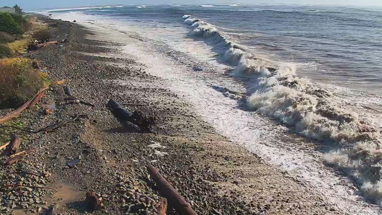
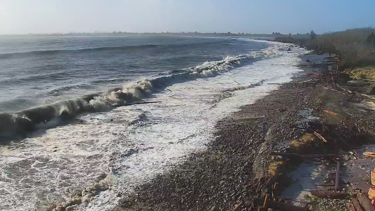
With higher water levels at baseline along the coast, waves and high tides will reach farther up the shore than usual. Pay attention at the beach and stay informed. Here are some resources to help.
National Weather Service Map of Active Alerts/Coastal Hazards
Zoom in on the map and click on your sector to see your local Marine Zone Forecast and Hazard Notices (e.g., increased risk of sneaker waves and rip currents, coastal flood advisories, etc.)
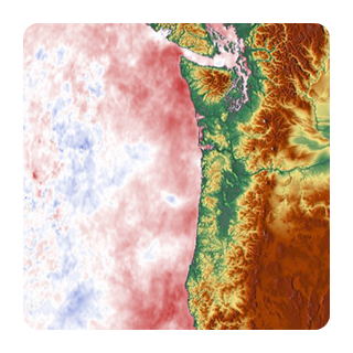
NOAA Inundation Dashboard
Click on the water level station nearest you to see current conditions relative to flooding thresholds.
NOAA NOS Tide Gauge Data on NVS
These stations have water level and water temperature, as well as air temperature and wind speed.
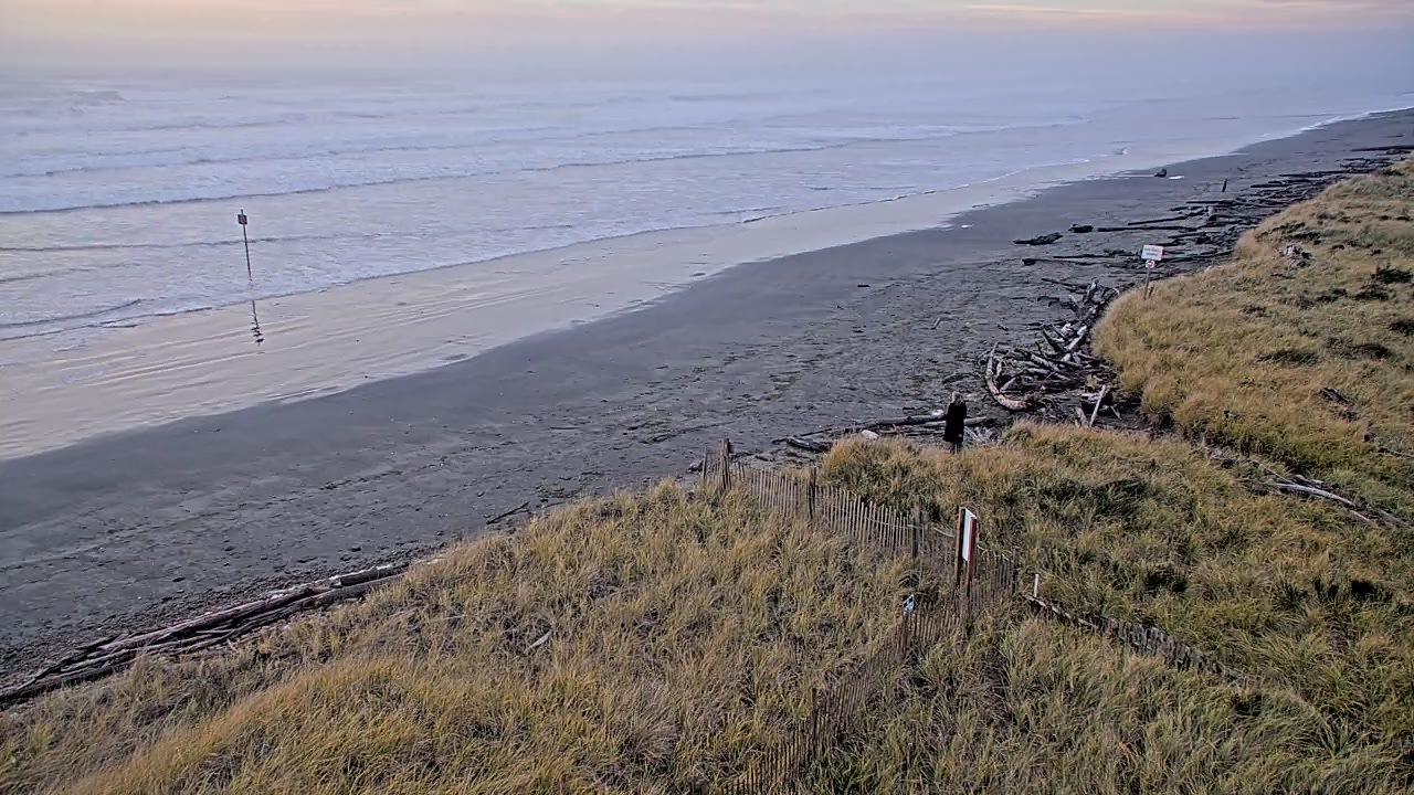
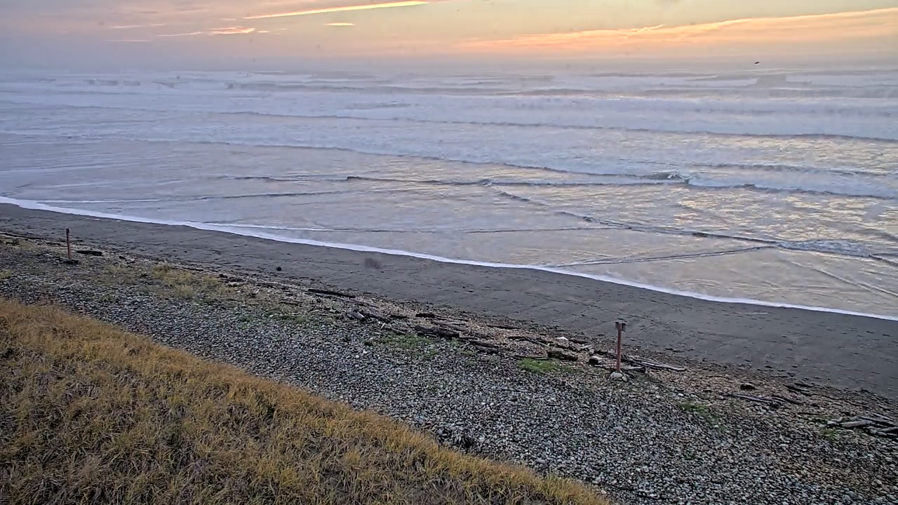
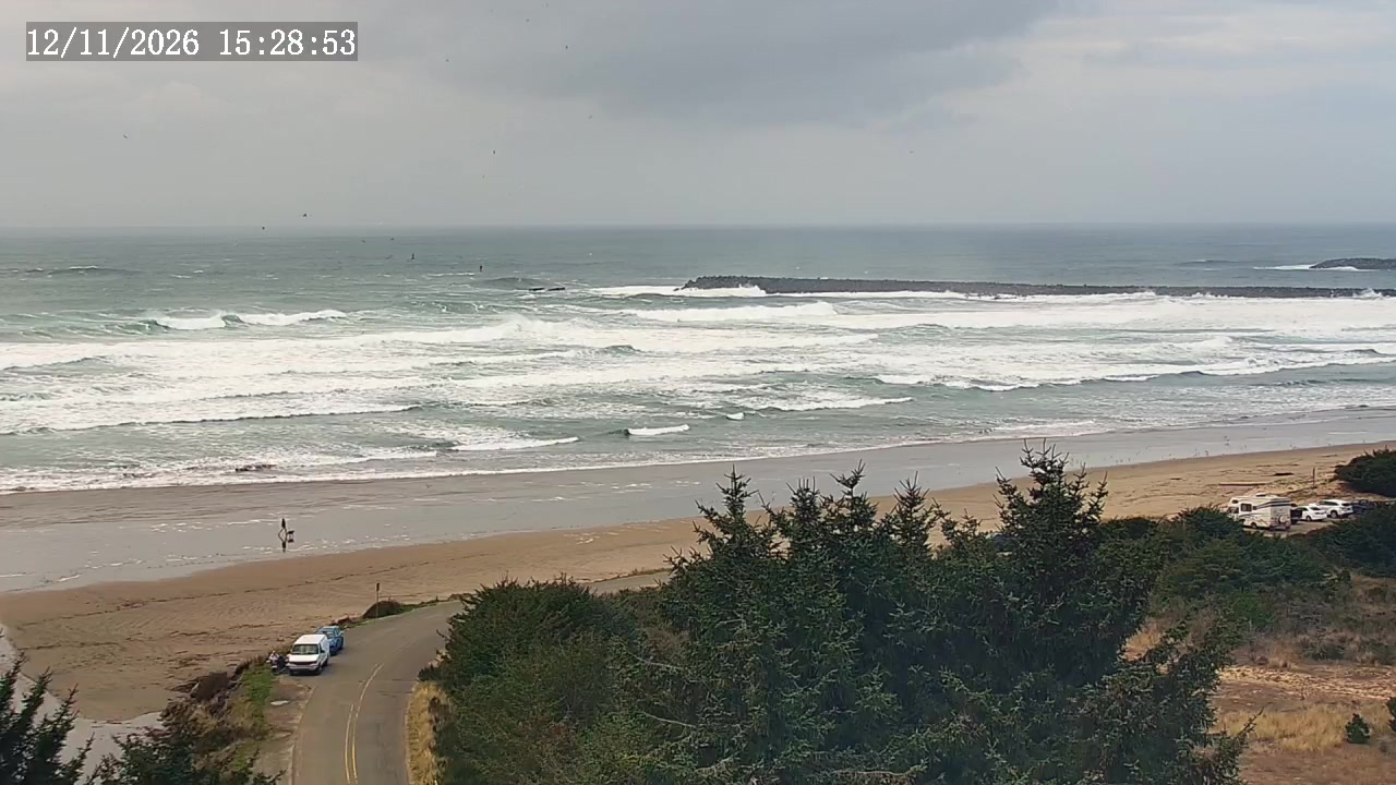
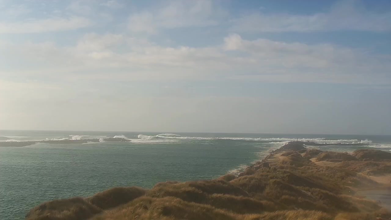
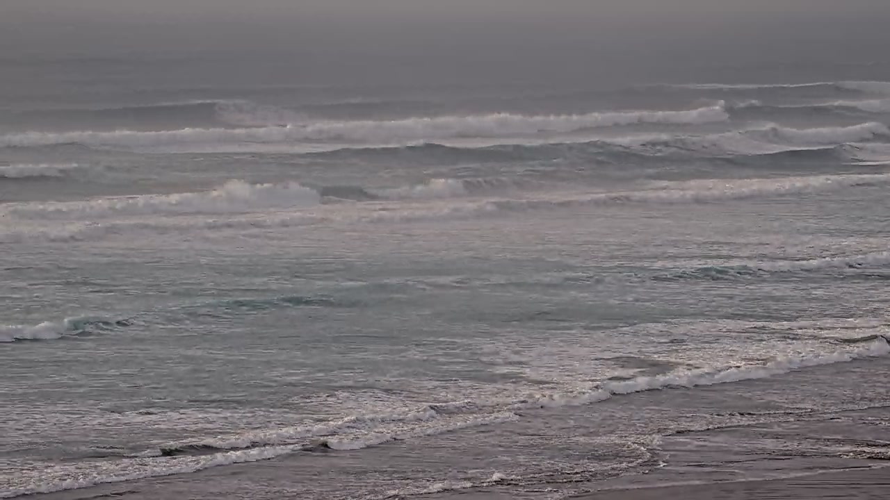
WebCOOS Cameras
Click on the links below to view the livestream video feed from the PNW WebCOOS locations.