Welcome to NANOOS, the Northwest Association of Networked Ocean Observing Systems.
| NANOOS Visualization System NVS provides easy access to observations, forecasts, data, and visualizations. |
New Nature Article Highlights Increasing PNW Coastal Hypoxia
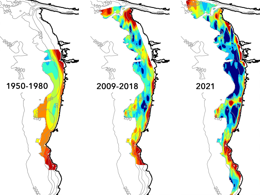
A paper by NANOOS PI Jack Barth that highlights "widespread and increasing near-bottom hypoxia" along the PNW coast was recently published in Nature Scientific Reports. Maps of near-bottom oxygen since 1950 show a consistent trend toward lower oxygen levels over time. Widespread and increasing near-bottom hypoxia is consistent with increased upwelling-favorable wind forcing under climate change. The paper acknowledges NANOOS-IOOS support for some of the observations. It is a great example of how data and information that informs tribal and state coastal managers can also be sustained to reveal changes in the ecosystem that influence adaptation strategies.
Read the Paper
New Nature Article Highlights Increasing PNW Coastal Hypoxia
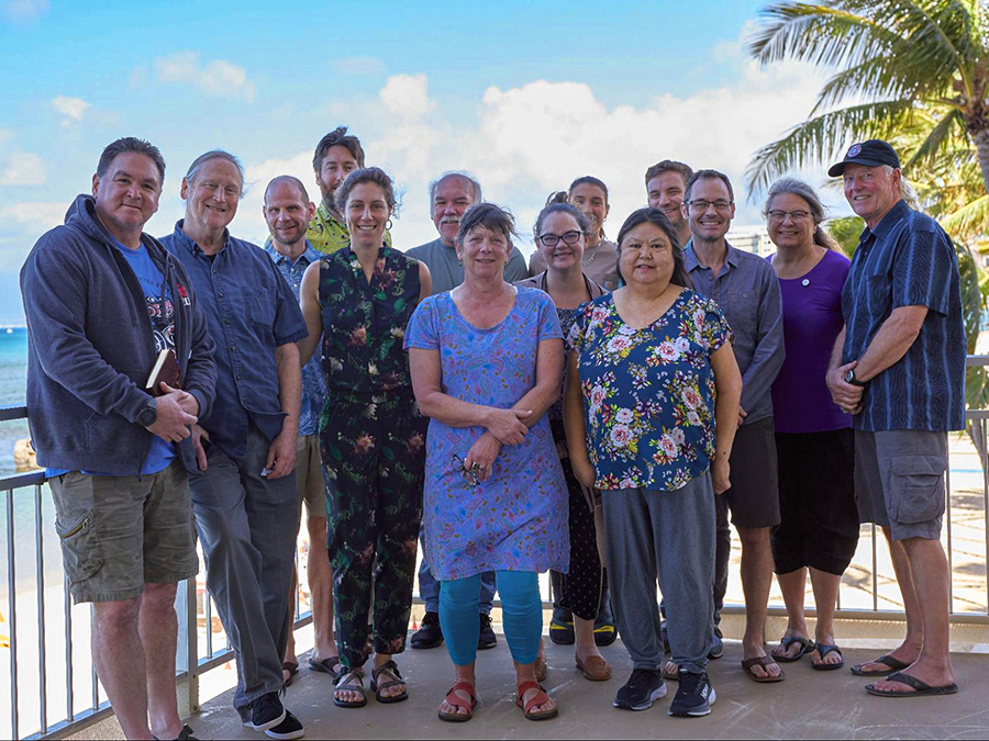
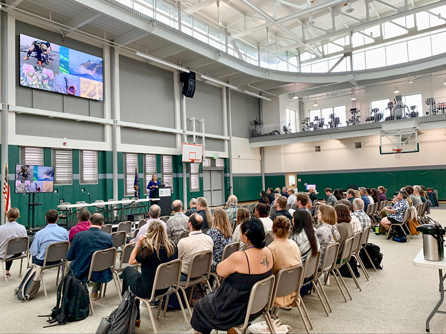
Backyard Buoys In-Person All-Hands Meeting
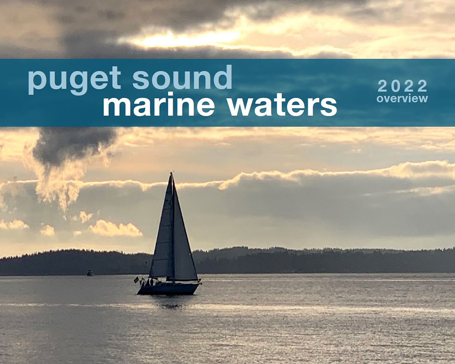
2022 Puget Sound Marine Waters Overview
Resources From NWEM Data Access Webinar
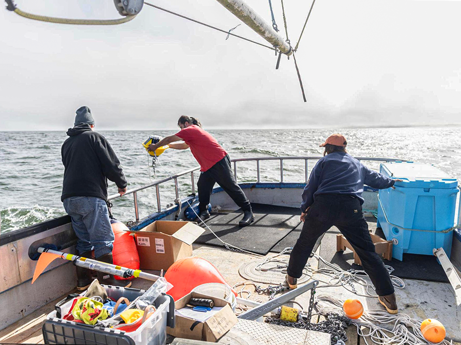
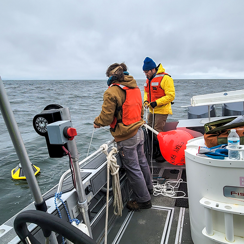
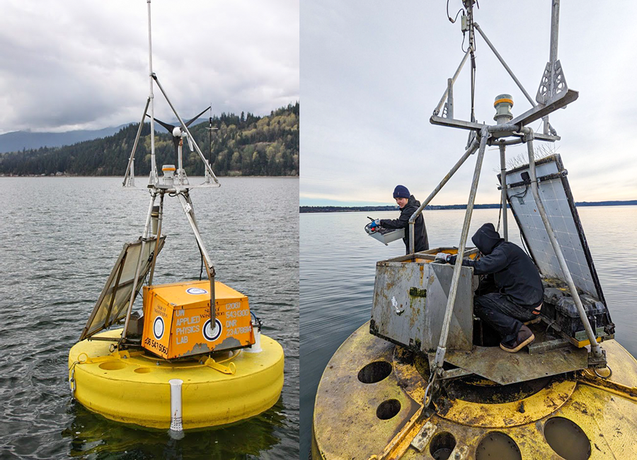
New Quinault Indian Nation Wave Buoy Deployed
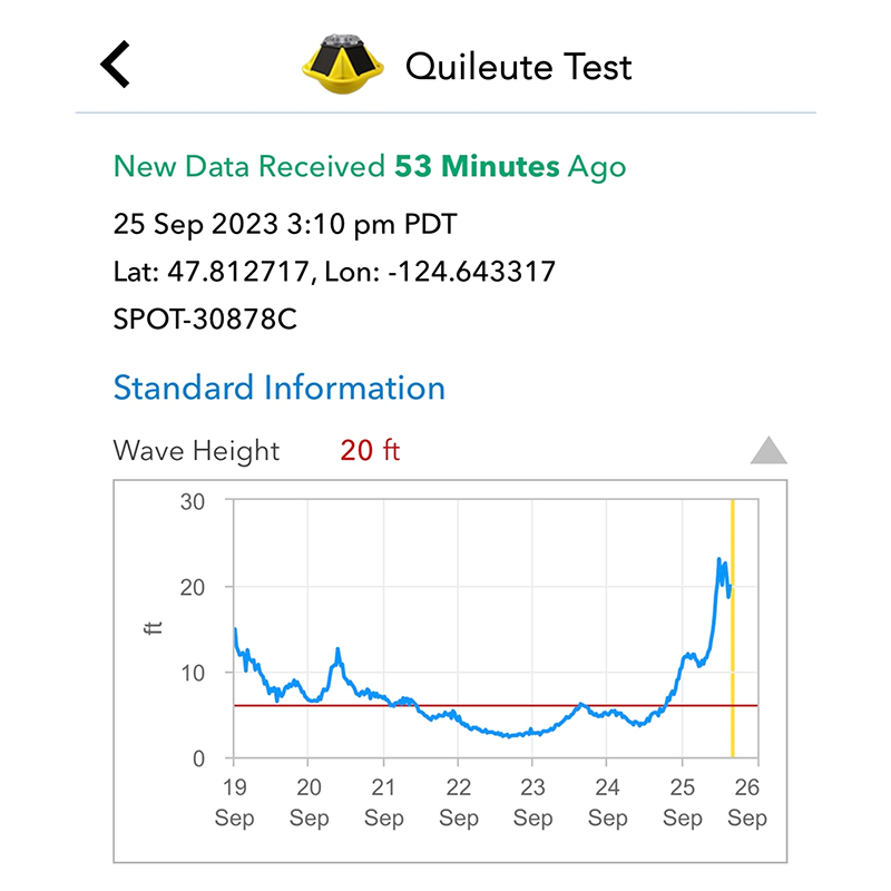
Quileute Tribe Wave Buoy Withstands High Seas
Tracking Warm Sea Temperatures - Is it a Marine Heatwave?
Backyard Buoys Makes a Splash!
Federal Investment in NANOOS Infrastructure
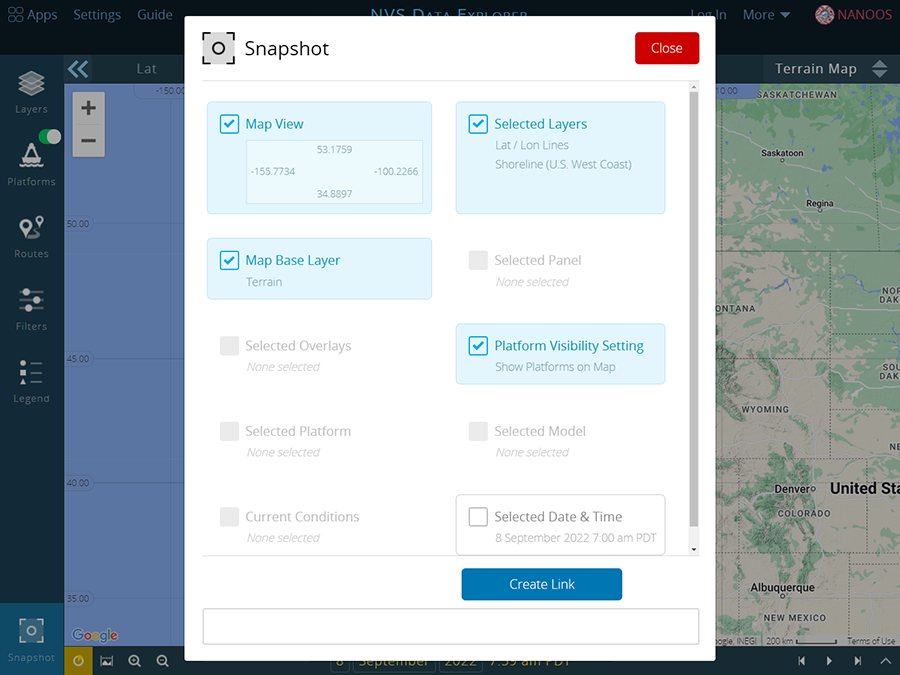
New NVS "Customization" Capability
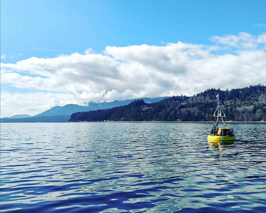
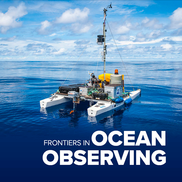
Multi-Stressor Observations and Modeling
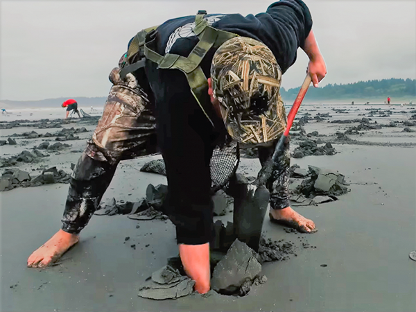
PNW HAB Bulletin Supports Tribal Access to Razor Clams